IEM Daily Feature
Friday, 10 January 2025
Friday, 10 January 2025
GeoTIFF Export
Posted: 10 Jan 2025 05:30 AM
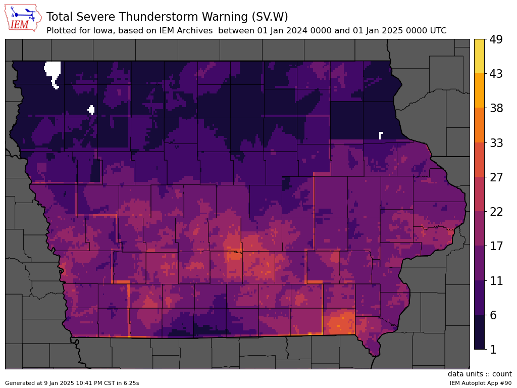
The IEM Autoplot tool has two general goals. The first is to generate visualizations of often complex datasets on-the-fly with considerable freedom given to the user to customize the presentation. The second is to give the user the option to download the raw data behind the visualization to allow for usage within their visualization or statistical software package of choice. To further support the extensibility goal, a number of autoplots that generate maps of grid based data are now able to export that data as a GeoTIFF. A GeoTIFF is a common and open GIS format for raster data. Note that the export is the raw data as a single band of floating point data values, not the visualization with color ramp and associated cartography. So today's featured plot is a mundane heatmap of NWS Severe Thunderstorm Warning polygons over Iowa for 2024. You can export the raster of event counts as a GeoTIFF and do further analysis to your heart's content. The option to generate these GeoTIFFs will be found as a button link below the generated maps within the autoplot tooling. As always, feedback on the autoplots and functionality is appreciated!
Voting:
Good = 16
Bad = 41
Voting:
Good = 16
Bad = 41